ArcGIS, QGIS or web apps can simply use this map with web map services. WMTS, TileJSON or XYZ tiles are provided for quick access to processed maps.
Sign in to get links.
Sign in to download GeoTIFF.
Overlay & compare
iiif viewer, iiif info json
Website
Griechenland.
4765.070
pilot4
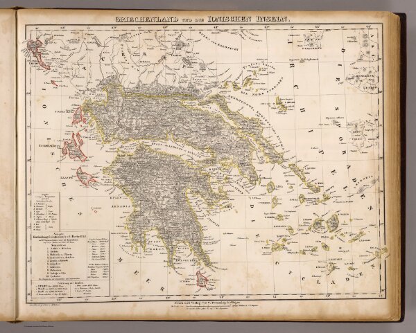
Griechenland und die Ionischen Inseln. Entworfen und gezeichnet v. A. Theinert. Druck und Verlag von C. Flemming in Glogau. (1855)
1855
Flemming, Carl
C. Flemming
44 × 35 cm
1 : 1400000