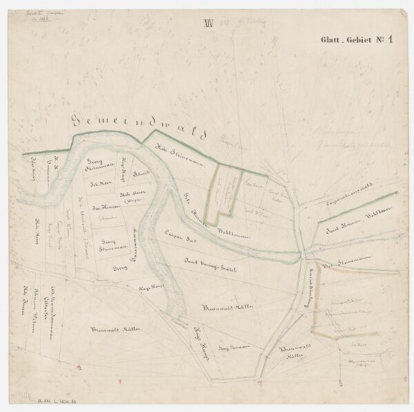
Opfikon bis Oberglatt: Grundeigentümer entlang der Glatt; Grundrisse (Glatt-Gebiet Nr. 1): Blatt XIV: Rümlang beim Gemeindewald; Grundriss (Glatt-Gebiet Nr. 1)
ArcGIS, QGIS or web apps can simply
use this map with web map services.
WMTS, TileJSON or XYZ tiles
are provided for quick access to processed maps.
Sign in to get links.