ArcGIS, QGIS or web apps can simply use this map with web map services. WMTS, TileJSON or XYZ tiles are provided for quick access to processed maps.
Sign in to get links.
Sign in to download GeoTIFF.
Overlay & compare
iiif viewer, iiif info json
Website
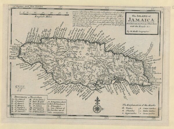
The ISLAND of JAMAICA
mapsukutopu123u48
ktop
[between 1732 and 1736.]
Moll, Herman
[Thomas and John Bowles]