ArcGIS, QGIS or web apps can simply use this map with web map services. WMTS, TileJSON or XYZ tiles are provided for quick access to processed maps.
Sign in to get links.
Sign in to download GeoTIFF.
Overlay & compare
iiif viewer, iiif info json
Website
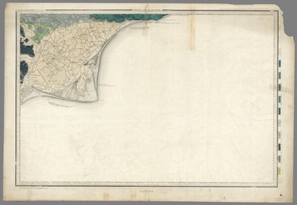
4. Denge Ness.
6913.009
missinglocation
1863
1899
Great Britain, Ordnance Survey Office
Ordnance Map Office
96 × 66 cm
1 : 63360