ArcGIS, QGIS or web apps can simply use this map with web map services. WMTS, TileJSON or XYZ tiles are provided for quick access to processed maps.
Sign in to get links.
Sign in to download GeoTIFF.
Overlay & compare
iiif viewer, iiif info json
Website
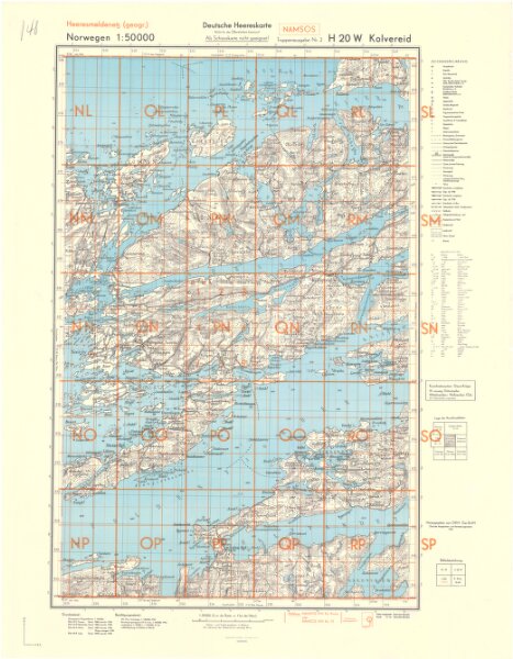
H20W Kolvereid
tysk_h20w-kolvereid2_1943
Flere gamle kart
1943
Oberkommando des Heeres/Generalstab des Heeres
1 : 50000
600