ArcGIS, QGIS or web apps can simply use this map with web map services. WMTS, TileJSON or XYZ tiles are provided for quick access to processed maps.
Sign in to get links.
Sign in to download GeoTIFF.
Overlay & compare
iiif viewer, iiif info json
Website
Original viewer
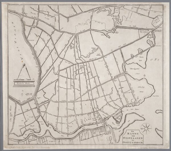
De Banne van Oostzaanen en Oostzaandam
0106050181001
1600-1800
Annotatie geografische gegevens: Oost boven
1700
[S.l. : s.n.]
52 × 58 cm
1 : 15000
300