ArcGIS, QGIS or web apps can simply use this map with web map services. WMTS, TileJSON or XYZ tiles are provided for quick access to processed maps.
Sign in to get links.
Sign in to download GeoTIFF.
Overlay & compare
Website
Original viewer
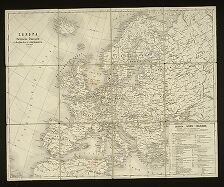
Europa - politische Übersicht zu Beginn des 18ten Jahrhunderts
uuid:90df0e9b-19cf-11e5-ad5d-001b63bd97ba
MZK2020
[1856?]
Josef Scheda