ArcGIS, QGIS or web apps can simply use this map with web map services. WMTS, TileJSON or XYZ tiles are provided for quick access to processed maps.
Sign in to get links.
Sign in to download GeoTIFF.
Overlay & compare
iiif viewer, iiif info json
Website
Catalog
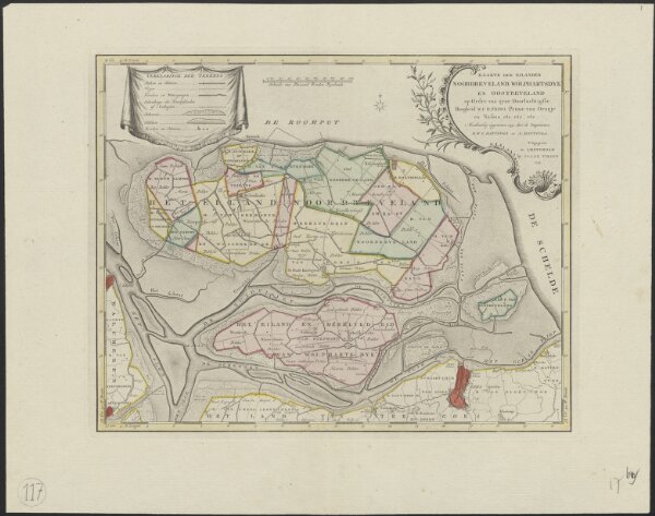
Kaarte der eilanden Noordbeveland, Wolphartsdyk en Oostbeveland
1874-351077
Maps of the Netherlands and Dutch regions
1753
op ordre van ... W.C.H. Friso prinse van Oranje en Nassau etc. etc. etc. meetkundig opgenomen 1751 door ... D.W.C. Hattinga en A. Hattinga.
Uitgegeven te Amsterdam : by Isaak Tirion
39 × 31 cm
1 : 50000
300