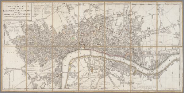
A new pocket plan of the cities of London & Westminster with the Borough of Southwark : comprehending the new buildings and other alterations to the year 1789
ArcGIS, QGIS or web apps can simply
use this map with web map services.
WMTS, TileJSON or XYZ tiles
are provided for quick access to processed maps.
Sign in to get links.