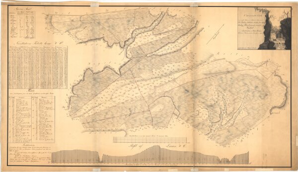
Søndre Trondhjems amt nr 115: Oeconomisk Carte over nogle Myrer som tilhører gaarder i Leenstandens og Klæboe Tinlauge, Strindens Fogderie, søndre Trondhjems Amt.
ArcGIS, QGIS or web apps can simply
use this map with web map services.
WMTS, TileJSON or XYZ tiles
are provided for quick access to processed maps.
Sign in to get links.