ArcGIS, QGIS or web apps can simply use this map with web map services. WMTS, TileJSON or XYZ tiles are provided for quick access to processed maps.
Sign in to get links.
Sign in to download GeoTIFF.
Overlay & compare
iiif viewer, iiif info json
Website
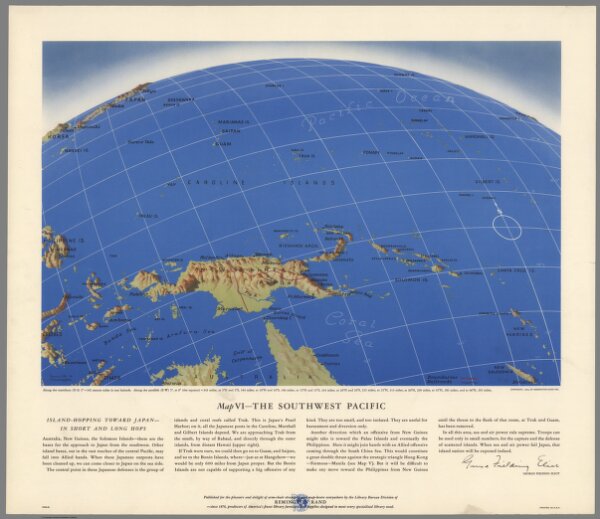
Map VI. The Southwest Pacific
6758.006
pilot2
[World War II battlefronts]. Map VI. The Southwest Pacific. Copyright, 1944, by Remington Rand, Inc. Printed in U.S.A. (Map signed by) Kenneth W. Thompson. (text signed by) George Fielding Eliot. (on lower margin) X600LB.
1944
Thompson, Kenneth, W.
Remington Rand Inc..
53 × 47 cm