ArcGIS, QGIS or web apps can simply use this map with web map services. WMTS, TileJSON or XYZ tiles are provided for quick access to processed maps.
Sign in to get links.
Sign in to download GeoTIFF.
Overlay & compare
iiif viewer, iiif info json
Website
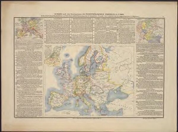
Europa nach den Bestimmungen des Westphälischen Friedens im J. 1648
02404487-1b3b-4b4e-9346-718c34fa6dac
MZK_1
das Reich Karl V. Deutschland's 10 Kreise und Niederland v. 1579. als Nebenkarten, nebst der historischen Übersicht vom J. 1500 bis 1700 der Jugend
1838
Müller, Heinrich F.
beim Verfasser, bei H. F. Müller am Kohlmarkt No. 1149