ArcGIS, QGIS or web apps can simply use this map with web map services. WMTS, TileJSON or XYZ tiles are provided for quick access to processed maps.
Sign in to get links.
Sign in to download GeoTIFF.
Overlay & compare
iiif viewer, iiif info json
Website
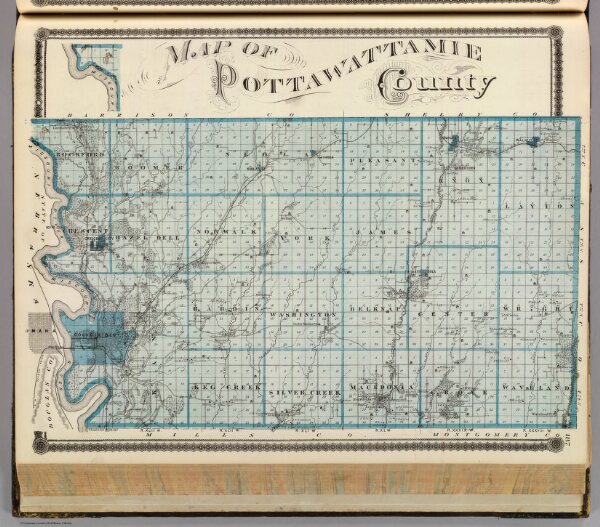
Map of Pottawattamie County.
0018.159
pilot3
Map of Pottawattamie County. (Published by the Andreas Atlas Co., Lakeside Building, Chicago, Ills. Engraved & printed by Chas. Shober & Co., Props. of Chicago Lithographing Co.)
1875
Andreas, A. T. (Alfred Theodore), 1839-1900
Andreas Atlas Co.
44 × 34 cm
1 : 154800