ArcGIS, QGIS or web apps can simply use this map with web map services. WMTS, TileJSON or XYZ tiles are provided for quick access to processed maps.
Sign in to get links.
Sign in to download GeoTIFF.
Overlay & compare
iiif viewer, iiif info json
Website
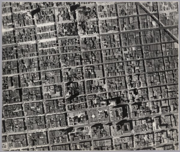
44. San Francisco Aerial Views.
5852.044
pilot
44. San Francisco Aerial Views, August, 1938. (Aerial Photographs).
1938
Ryker, Harrison
Harrison Ryker
60 × 50 cm
1 : 2000