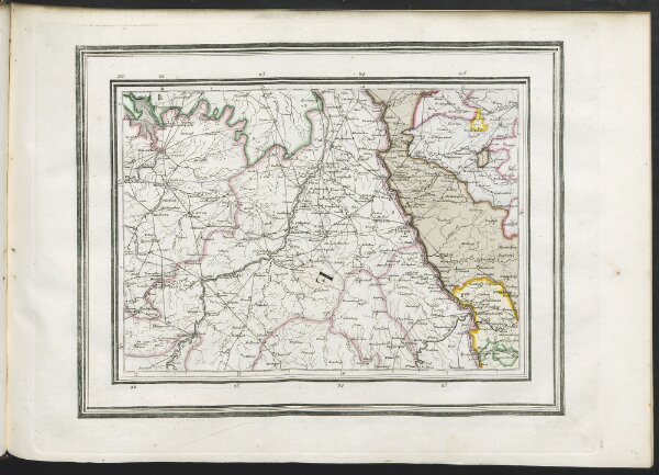
NOUVELLE GRANDE CARTE DE L'ALLEMAGNE et des Etats qui l'avoisinen, en XXX feuilles enlumine ́es, Ou` se trouvent distingue ́es les Limites des diffe`rents Etats ET CONTENANT TOUTES LES ROUTES ETS STATIONS DE POSTE Grave ́ par J. N. Champion Inge ́nieur Geographe =
ArcGIS, QGIS or web apps can simply
use this map with web map services.
WMTS, TileJSON or XYZ tiles
are provided for quick access to processed maps.
Sign in to get links.