ArcGIS, QGIS or web apps can simply use this map with web map services. WMTS, TileJSON or XYZ tiles are provided for quick access to processed maps.
Sign in to get links.
Sign in to download GeoTIFF.
Overlay & compare
iiif viewer, iiif info json
Website
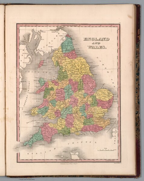
40. England and Wales
13379.044
pilot5
England and Wales. Young & Delleker sc. Published by A. Finley Philada. (to accompany) A new general atlas, comprising a complete set of maps, representing the grand divisions of the globe ... 1836.
1836
Finley, Anthony
Anthony Finley
22 × 29 cm
1 : 2850000