ArcGIS, QGIS or web apps can simply use this map with web map services. WMTS, TileJSON or XYZ tiles are provided for quick access to processed maps.
Sign in to get links.
Sign in to download GeoTIFF.
Overlay & compare
iiif viewer, iiif info json
Website
Original viewer
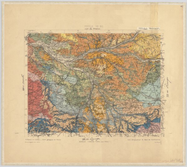
21) VIII.N.O. ''Poitiers'', uit: Carte géologique de France
0106054091016
1880-1900
Annotatie: Voor aanwezige bladen zie bladoverzicht
1885
[S.l : s.n.]
1 : 500000
300