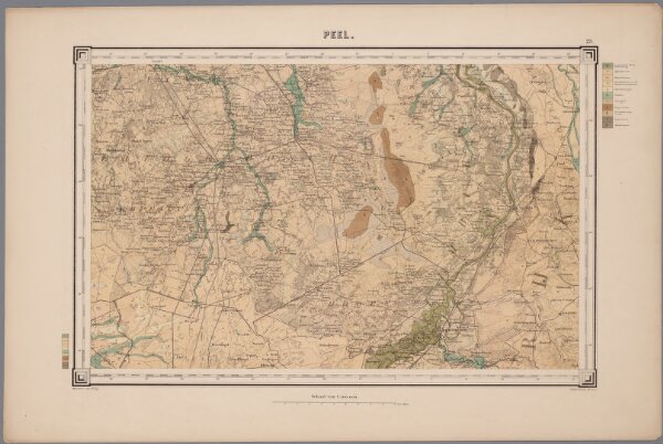
23. Peel, uit: Geologische kaart van Nederland : schaal van 1:200.000 / door W.C.H. Staring ; uitgevoerd door het Topographisch Bureau van Oorlog ; uitgegeven op last van Zijne Majesteit Den Koning
ArcGIS, QGIS or web apps can simply
use this map with web map services.
WMTS, TileJSON or XYZ tiles
are provided for quick access to processed maps.
Sign in to get links.