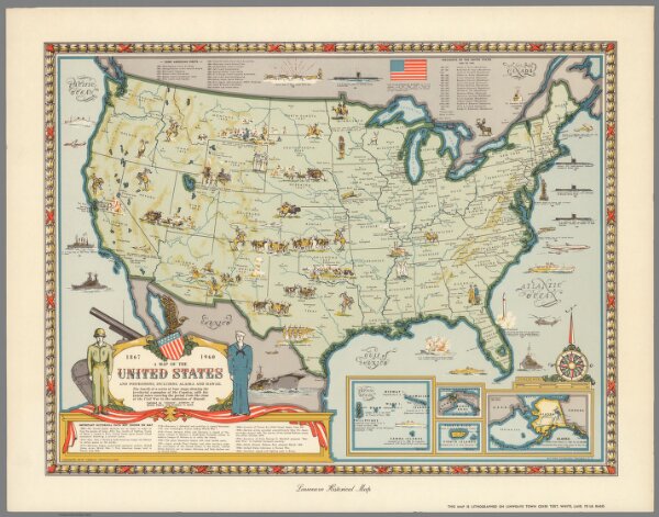
A map of the United States and possessions, including Alaska and Hawaii, 1867-1960 : the fourth of a series of four maps showing the territorial expansion of the country, with historical notes covering the period from the close of the Civil War to the admission of Hawaii. Karl Smith. Lindweave hisotrical map. Copyright 1959 by "Linweave", Springfield, Mass. (to accompany) Growth and development of America in maps by Linweave.