ArcGIS, QGIS or web apps can simply use this map with web map services. WMTS, TileJSON or XYZ tiles are provided for quick access to processed maps.
Sign in to get links.
Sign in to download GeoTIFF.
Overlay & compare
iiif viewer, iiif info json
Website
11006258714
flickr2
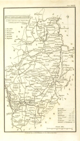
Book: [A Topographical Dictionary of the United Kingdom ... accompanied by forty-six maps, etc.]
1825
Capper, Benjamin Pitts.
G. B. Whittaker
137.4 × 241.3 cm