ArcGIS, QGIS or web apps can simply use this map with web map services. WMTS, TileJSON or XYZ tiles are provided for quick access to processed maps.
Sign in to get links.
Sign in to download GeoTIFF.
Overlay & compare
iiif viewer, iiif info json
Website
Original viewer
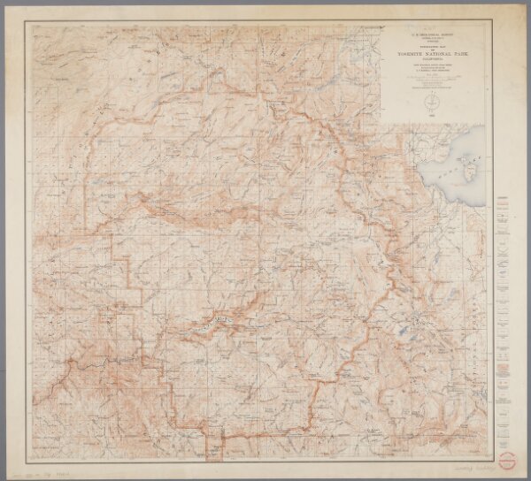
Topographic map of Yosemite National Park, California
0106050318001
20e-eeuw
Annotatie geografische gegevens: Opname: 1893-1909
1915
[Washington, D.C. : U.S. Geological Survey]
69 × 73 cm
1 : 125000
300