ArcGIS, QGIS or web apps can simply use this map with web map services. WMTS, TileJSON or XYZ tiles are provided for quick access to processed maps.
Sign in to get links.
Sign in to download GeoTIFF.
Overlay & compare
iiif viewer, iiif info json
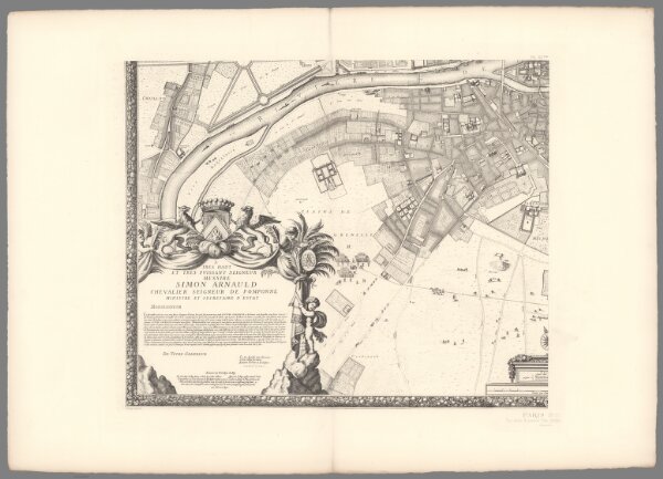
Pl. XX ter. Paris in 1672.
12431.072
missinglocation
1672
1900
de Rochefort, Jouvin
Imprimerie Nationale
68 × 57 cm