ArcGIS, QGIS or web apps can simply use this map with web map services. WMTS, TileJSON or XYZ tiles are provided for quick access to processed maps.
Sign in to get links.
Sign in to download GeoTIFF.
Overlay & compare
iiif viewer, iiif info json
Website
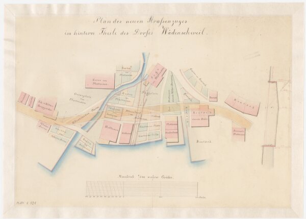
Wädenswil: Projektierte Strasse im hinteren Teil des Dorfes; Situationsplan
PLAN_S_521
Maps
Mit Angabe der Namen von Gebäude- und Grundeigentümern.
From 1838-01-01 to 1838-12-31
48.5 × 34.5 cm
1 : 500
300