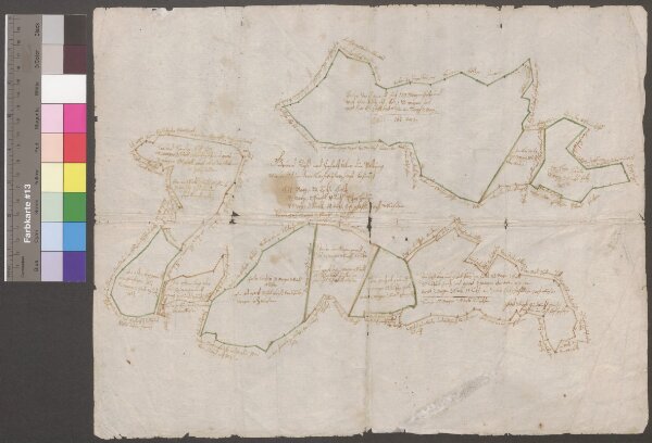
HZAN GA 100_Nr. 223_ : Lachweiler (Kr. Schwäbisch Hall); "Grundriß und Inhalt über die Waldung, wie sie sich in dem Lachweiler Forst befindet";ohne Verfasser;ohne Maßstab;42 x 33 cm;Papier; Federzeichnung; Grenzen in Wasserfarben; Angabe der Grenzsteine, Flurnamen und Meßgehalt.
ArcGIS, QGIS or web apps can simply
use this map with web map services.
WMTS, TileJSON or XYZ tiles
are provided for quick access to processed maps.
Sign in to get links.