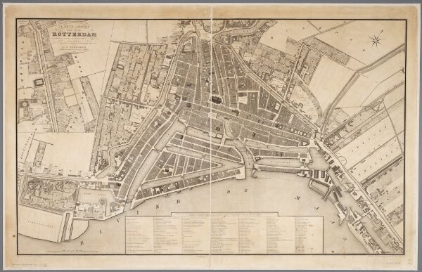
Platte grond der stad Rotterdam / vervaardigd volgens de kadastrale plans ... door L.F. Temminck ; gegraveerd door Dl. Veelwaard en Zonen
ArcGIS, QGIS or web apps can simply
use this map with web map services.
WMTS, TileJSON or XYZ tiles
are provided for quick access to processed maps.
Sign in to get links.