ArcGIS, QGIS or web apps can simply use this map with web map services. WMTS, TileJSON or XYZ tiles are provided for quick access to processed maps.
Sign in to get links.
Sign in to download GeoTIFF.
Overlay & compare
iiif viewer, iiif info json
Website
11008604693
flickr2
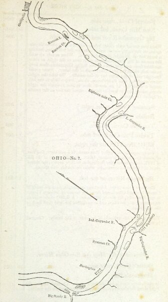
Book: The Western Pilot; containing charts of the Ohio River, and of the Mississippi, from the mouth of the Missouri to the Gulf of Mexico, accompanied with directions for navigating the same, and a gazetteer, etc
1832
CUMINGS, Samuel.
N. & G. Guilford & Co.
133.4 × 239.2 cm