ArcGIS, QGIS or web apps can simply use this map with web map services. WMTS, TileJSON or XYZ tiles are provided for quick access to processed maps.
Sign in to get links.
Sign in to download GeoTIFF.
Overlay & compare
iiif viewer, iiif info json
Website
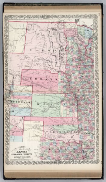
Kansas, and Nebraska and Indian Territories.
0151.058
pilot4
Colton's Map of Kansas, Nebraska, Dakota & Indian Territory. Published By J. H. Colton. No. 172 William St. New York.
1865
Colton, G.W.
J. H. Colton.
44 × 70 cm
1 : 3000000