ArcGIS, QGIS or web apps can simply use this map with web map services. WMTS, TileJSON or XYZ tiles are provided for quick access to processed maps.
Sign in to get links.
Sign in to download GeoTIFF.
Overlay & compare
iiif viewer, iiif info json
Website
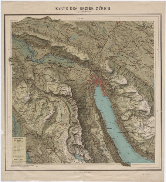
Reliefkarte des Bezirks Zürich
PLAN_A_35
Maps
Mit Erklärung der Zeichen.
From 1900-01-01 to 1900-12-31
Randegger, Johannes (1830-1900), Kartograf; Wurster, Randegger und Cie., in Winterthur Kommissionsverlag: J. Wurster und Co., in Zürich
61.4 × 68.2 cm
1 : 40000
300