ArcGIS, QGIS or web apps can simply use this map with web map services. WMTS, TileJSON or XYZ tiles are provided for quick access to processed maps.
Sign in to get links.
Sign in to download GeoTIFF.
Overlay & compare
iiif viewer, iiif info json
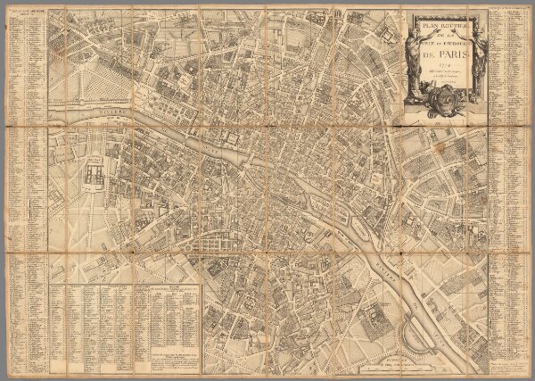
Plan routier de la ville et faubourg de Paris.
10177.000
missinglocation
1774
Lattre, Jean, 1743 -1793
Lattre
77 × 54 cm
1 : 9600