ArcGIS, QGIS or web apps can simply use this map with web map services. WMTS, TileJSON or XYZ tiles are provided for quick access to processed maps.
Sign in to get links.
Sign in to download GeoTIFF.
Overlay & compare
iiif viewer, iiif info json
Website
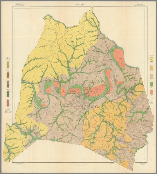
30. Soil Map, Davidson County Sheet, Tennessee.
9016.032
pilot5
1903
1905
Bennett, Hugh H.
U.S. Department of Agriculture. Field Operations of the Bureau of Soils.
70 × 79 cm
1 : 62500