ArcGIS, QGIS or web apps can simply use this map with web map services. WMTS, TileJSON or XYZ tiles are provided for quick access to processed maps.
Sign in to get links.
Sign in to download GeoTIFF.
Overlay & compare
iiif viewer, iiif info json
Website
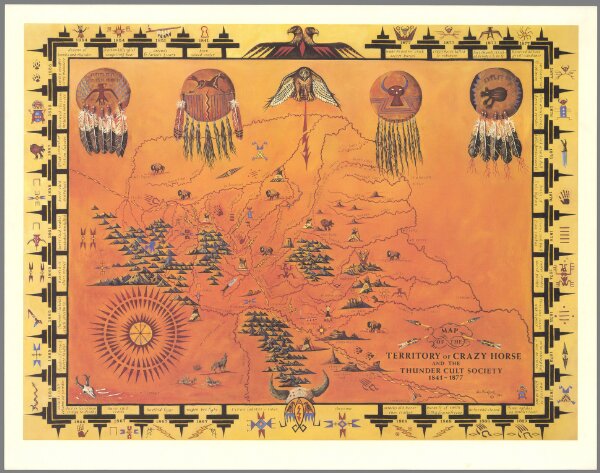
Map of the territory of Crazy Horse and the Thunder Cult Society 1841 - 1877
13368.001
pilot5
Map Of The Territory Of Crazy Horse And The Thunder Cult Society 1841 - 1877. Wm. Burks III. 1984.
1984
Burks, William III
73 × 55 cm