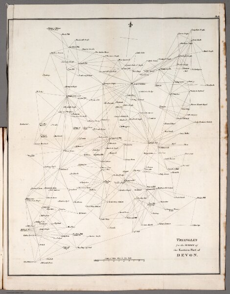
Plate II. Triangles for the survey of the Eastern part of Devon. Vol. 3, 1811
Identifier
6874.012
Collection
pilot
Description
Plate II. Triangles for the survey of the Eastern part of Devon. (to accompany) An account of the trigonometrical survey : carried on by order of the Master-General of his Majesty's Ordnance, in the years 1800. 1801, 1803, 1804, 1805, 1806, 1807, 1808, and 1809. By Lieutenant-Colonel William Mudge, ... Vol. III. ... 1811.