ArcGIS, QGIS or web apps can simply use this map with web map services. WMTS, TileJSON or XYZ tiles are provided for quick access to processed maps.
Sign in to get links.
Sign in to download GeoTIFF.
Overlay & compare
iiif viewer, iiif info json
Website
Original viewer
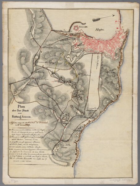
Plan der See-Stadt und Festung Ancona / dall'J.R.G. Fröhlich
0106050333001
1600-1800
Annotatie: Kaart geeft stad met omgeving weer, met intekening van gebergten; Met korte toelichting in het Italiaans
1799
Fröhlich, J.R.G.
[S.l. : s.n.]
1 : 12000
300