ArcGIS, QGIS or web apps can simply use this map with web map services. WMTS, TileJSON or XYZ tiles are provided for quick access to processed maps.
Sign in to get links.
Sign in to download GeoTIFF.
Overlay & compare
iiif viewer, iiif info json
Website
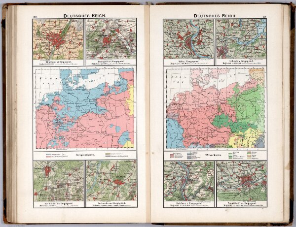
Deutsches Reich. Religionskarte. Volkerkarte
0243.086
default
Deutsches Reich. Religionskarte. Volkerkarte. (with insets). (to accompany) Diercke Schul-Atlas fur hohere Lehranstalten. "35" on the lower right margin.
1896
Gaebler, Eduard
George Westermann
38 × 32 cm