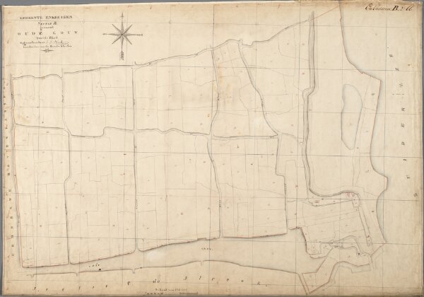
Kadastrale kaart 1811-1832, minuutplan Enkhuizen, Noord Holland, sectie B, blad 02 (MIN07033B02).jpg
ArcGIS, QGIS or web apps can simply
use this map with web map services.
WMTS, TileJSON or XYZ tiles
are provided for quick access to processed maps.
Sign in to get links.