ArcGIS, QGIS or web apps can simply use this map with web map services. WMTS, TileJSON or XYZ tiles are provided for quick access to processed maps.
Sign in to get links.
Sign in to download GeoTIFF.
Overlay & compare
iiif viewer, iiif info json
Website
Europe
8268.006
pilot2
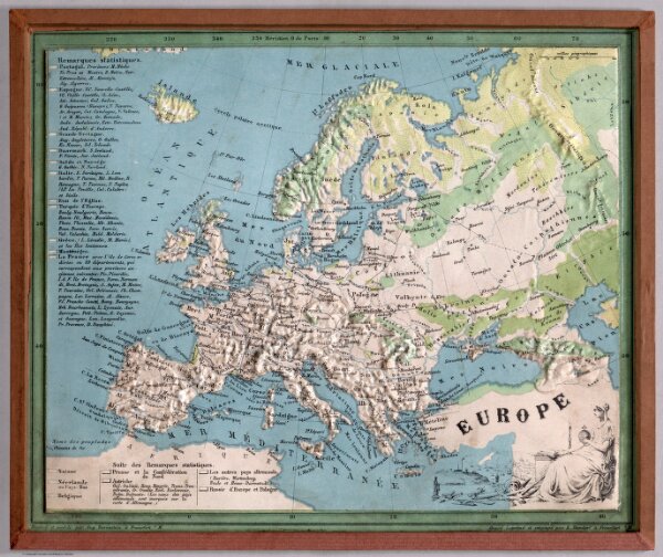
Europe. Dessine et modele par Aug. Ravenstein a Francfort s/M. Grave. imprime et estampe par B. Dondorf a Francfort s/M.
1865
Dondorf, B.
B. Dondorf
28 × 23 cm
1 : 5000000