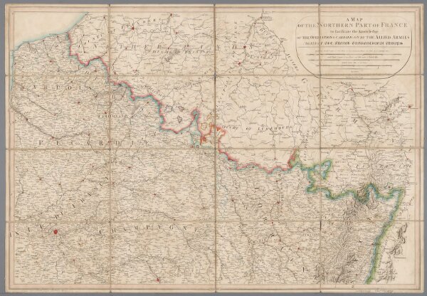
A map of the northern part of France to facilitate the knowledge of the operations carried out by the allied armies against the French Conventional troops
ArcGIS, QGIS or web apps can simply
use this map with web map services.
WMTS, TileJSON or XYZ tiles
are provided for quick access to processed maps.
Sign in to get links.