ArcGIS, QGIS or web apps can simply use this map with web map services. WMTS, TileJSON or XYZ tiles are provided for quick access to processed maps.
Sign in to get links.
Sign in to download GeoTIFF.
Overlay & compare
iiif viewer, iiif info json
Website
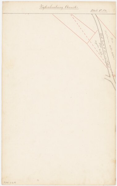
Uster: Flurkreis Oberuster; Wegbeschreibung: Blatt F 4; Situationsplan
PLAN_U_3_44
Others
Mit Angabe der Namen von privaten Grundeigentümern. Ohne Datumsangabe.
From 1866-01-01 to 1866-12-31
30 × 48.5 cm
300