ArcGIS, QGIS or web apps can simply use this map with web map services. WMTS, TileJSON or XYZ tiles are provided for quick access to processed maps.
Sign in to get links.
Sign in to download GeoTIFF.
Overlay & compare
iiif viewer, iiif info json
Website
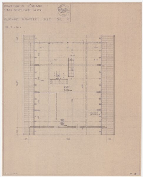
Rümlang: Pfarrhaus, Dachgeschoss; Grundriss
PLAN_R_1614
Maps
Kopie eines am 28.08.1941 von E. F. aufgenommenen und gezeichneten sowie am 13.05.1950 von Wi. ergänzten Originalplans. Ohne Erstellungsdatumsangabe.
From 1950-01-01 to 1950-12-31
42 × 52 cm
1 : 50
300