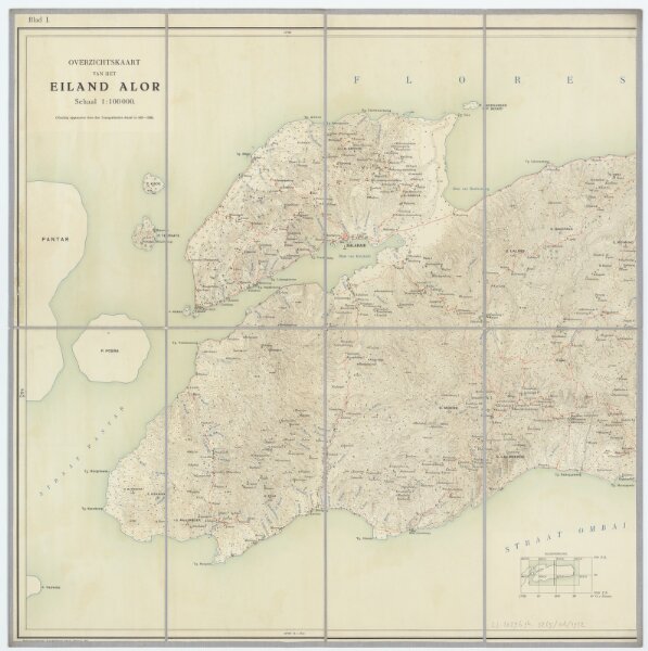
Blad I, uit: Overzichtskaart van het Eiland Alor / vluchtig opgenomen door den Topografischen Dienst in 1927-1928
ArcGIS, QGIS or web apps can simply
use this map with web map services.
WMTS, TileJSON or XYZ tiles
are provided for quick access to processed maps.
Sign in to get links.