ArcGIS, QGIS or web apps can simply use this map with web map services. WMTS, TileJSON or XYZ tiles are provided for quick access to processed maps.
Sign in to get links.
Sign in to download GeoTIFF.
Overlay & compare
iiif viewer, iiif info json
Website
Inverness Shire 4 N.
5748.070
pilot3
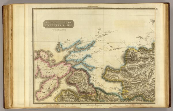
Northern part of Inverness Shire. Compiled by William Johnson, Land Surveyor, Edinburgh. (Engraved by) J. & G. Menzies, Edinr. Published by John Thomson & Co., Edinburgh, 1830. (1832)
1832
Johnson, William, fl. 1806-1840
John Thomson & Co.
67 × 52 cm
1 : 128000