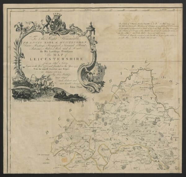
To the right honourable Francis, earl of Huntingdon, baron Hastings, Hungerford, Newmark, Peverel, Botreaux, Molins, Moels and de Homet. By his Lordships permission, this map of Leicestershire from an actual survey began in the year 1775 and finished in the year 1777, with the utmost gratitude and respect is dedicated by His Lordship's most obliged, most obedient and most humble servant, John Prior
ArcGIS, QGIS or web apps can simply
use this map with web map services.
WMTS, TileJSON or XYZ tiles
are provided for quick access to processed maps.
Sign in to get links.